We offer customized Inertial navigation solutions for GPS denied environments.
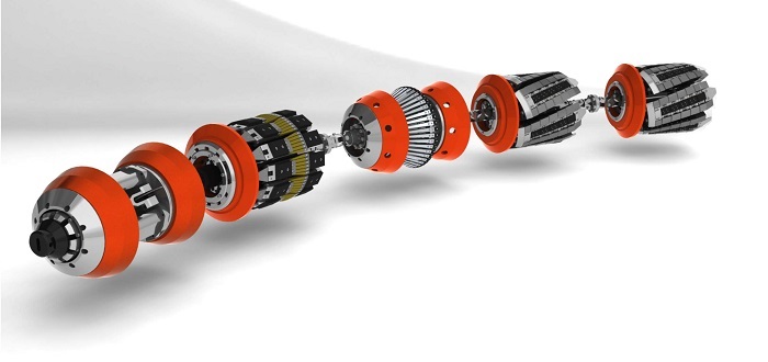
One such application is in-line-inspection tools used by the oil and gas industry for inspection of underground pipelines.
Data for inertial sensors is the primary source of measurements, apart from this we make use of various other sources of information like known markers, Lidar, images etc and fuse all together to generate navigation data. Our algorithms are agnostic to the type of sensor, therefore we can integrate an inertial sensor based on MEMS, FOG or RLG.